Midtown and the Central West End · Central West End
Gates, mansions and the walk to the park
Between the medical campus and Forest Park, a neighborhood of tree-lined private streets, stone gateposts and big houses from the years of the 1904 World's Fair makes one of the city's best walks.
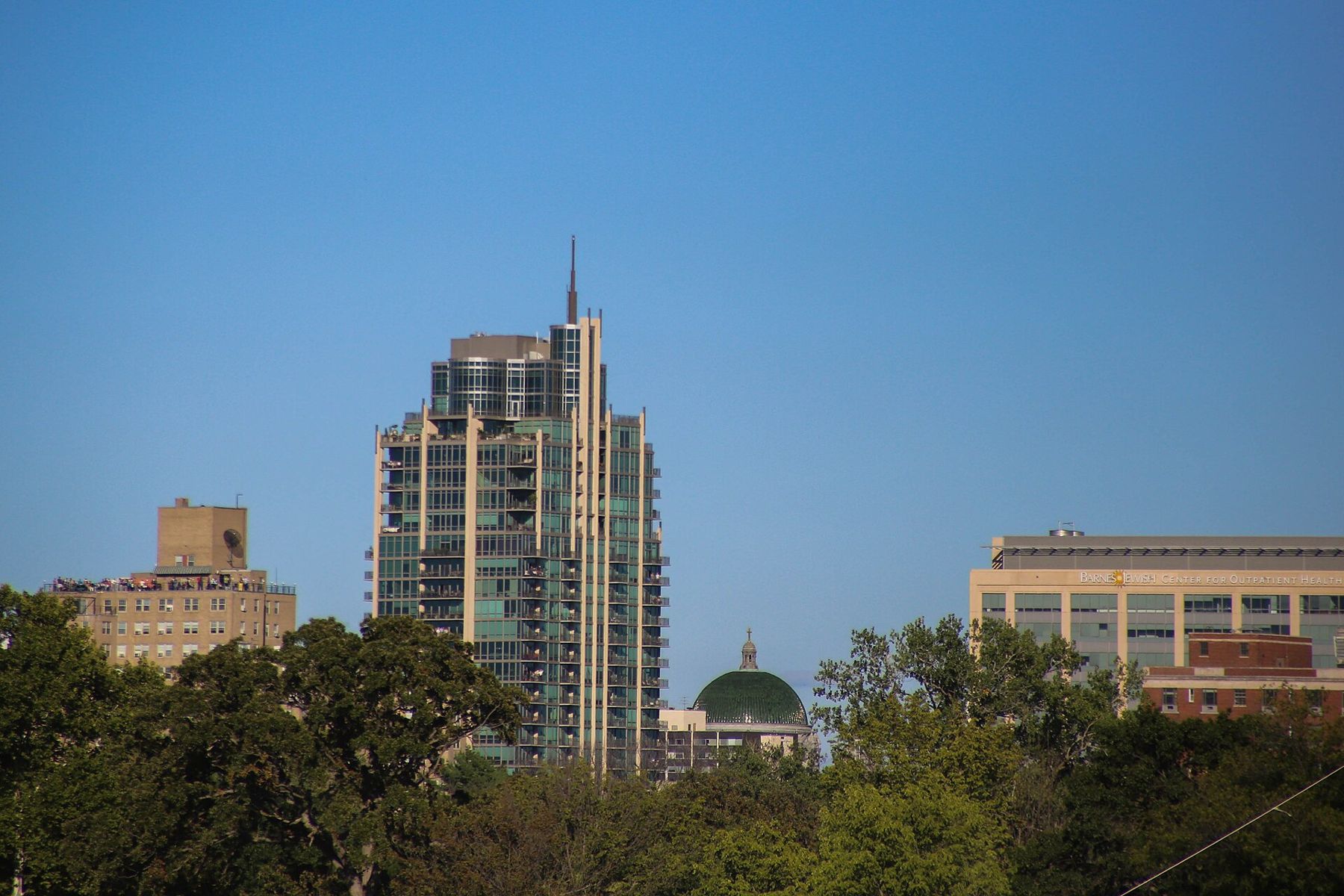
The Central West End sits at the east edge of Forest Park, west of the cathedral and north of one of the country's largest medical campuses. It grew in the decades around the 1904 World's Fair, when the city's wealthy moved west, away from the smoke of downtown, and built big houses on quiet streets near the new park. Much of that survives. The neighborhood is one of the easiest in the city to explore on foot, with sidewalks, tall trees and a short walk to the park at the end.
Starting at the station
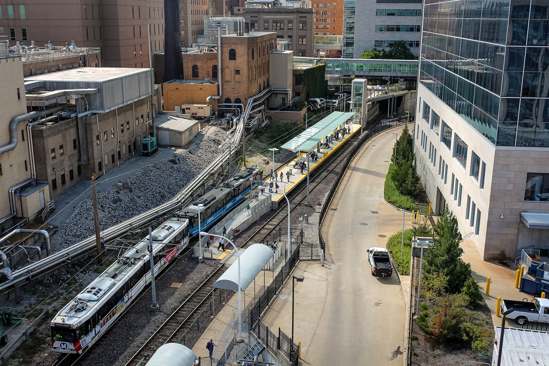
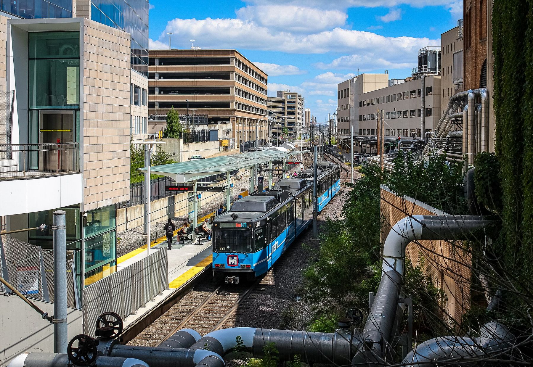
The Central West End MetroLink station sits at the south edge of the neighborhood, tucked between the hospital buildings and the rail cut. Climb out of the station and walk north on Euclid Avenue, and within a few blocks the medical towers give way to brick apartment buildings and old storefronts.
Euclid Avenue
Euclid Avenue is the neighborhood's main street, especially the stretch north of Forest Park Avenue toward Maryland Avenue and McPherson Avenue. Its sidewalks are lined with shops, galleries, bookstores and places to eat, many with tables outside in good weather. The buildings are mostly two and three stories, brick and terracotta, from the early twentieth century.
Look up as you go. Many of the storefronts keep their original cornices, pressed metal or carved stone, and some upper floors still have bay windows that once looked down on streetcar lines. It is a good street to walk slowly, look in windows and stop for coffee. On warm evenings the sidewalk tables fill, and there is a steady mix of students, hospital staff, residents and visitors. The streets that cross it, Maryland, McPherson and others, have their own blocks of old buildings and are worth wandering.
On Maryland Avenue, the World Chess Hall of Fame shows exhibitions on chess and its history, a reminder that St. Louis has become a center of the game. A giant chess piece usually stands out front. Check what is on display before you go.
Mile 3.9Forty million pieces of glass and goldThe private places
The neighborhood's great distinction is its private places: residential streets owned and maintained by the people who live on them, often closed by gates at one or both ends. St. Louis has dozens, built from the 1850s through the 1920s, and some of the grandest are here, along the edge of Forest Park.
Portland Place and Westmoreland Place, laid out in the late 1880s, run in parallel west toward the park. Their entrances are marked by massive stone gateposts and iron gates, and the houses behind them are enormous: brick, stone and stucco, in many styles, built by the city's brewing, shoe and banking fortunes. Some went up just before or during the 1904 World's Fair, when visitors and money were pouring into this end of the city.
These are private streets. Gates may be closed, and the residents value quiet. Look from the gates and the public sidewalks, don't wander in uninvited, and never try to photograph people or their houses up close. Other private places nearby have similar gateways, and you can see the style from the outside on a loop through the area.
Lindell and the park's edge
Lindell Boulevard runs along the north edge of the neighborhood, lined with big apartment buildings, churches and grand houses. To the east, at Newstead, stands the Cathedral Basilica, whose green dome you can see over the trees. To the west, Lindell runs along the north side of Forest Park.
The houses along Lindell show the same ambitions as those behind the gates, but you can see them from the public sidewalk: towers, turrets, deep porches and stone carving, some now divided into apartments or offices, a few still single homes. Walk the north side for shade in the afternoon.
Kingshighway Boulevard, the busy street at the west edge of the neighborhood, separates it from the park. Cross at the lights, and you are on the park's northeast corner. From there, paths lead west past the lakes toward the museums and the old World's Fair grounds, and the loop of Forest Park begins.
A walking route
A good route of two to three miles: start at the Central West End station, walk north on Euclid to Maryland, wander a block or two east and west, then continue north to Lindell. Turn east to see the Cathedral Basilica, then come back west along Lindell, past the entrances to the private places, and cross Kingshighway into the park. From there, the Art Museum on Art Hill is about a mile and a half farther west.
The sidewalks are good and the land is mostly flat. There is shade in summer, but heat and humidity still build by afternoon, so start early. The neighborhood is busy and well lit in its central blocks; use the same care you would in any city district, especially late at night.
When to go
Spring, when the trees along the private places leaf out and the dogwoods bloom, and fall, when the leaves turn, are the best months. Weekday mornings are quiet; weekend afternoons and summer evenings are lively along Euclid. Winter is gray but still pleasant on a clear day, with the bare trees showing the houses more clearly.
Getting here is simple: the MetroLink station is in the neighborhood, and buses run along Kingshighway, Lindell and Euclid. From downtown it is a short ride, part of the MetroLink line from the river to the park.